Drone Survey
A topographic survey using Drones:
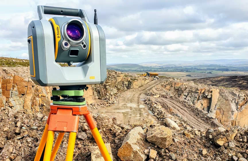
By using the latest GPS survey drones, a topographical survey has become much easy and cheaper compared to other modes of the survey using total stations or DGPS. The major benefit of using drones in topographical surveys is along with the development of accurate contour and base maps you can also generate an orthographic mosaic of the total surveyed area. Thousands of acres can be surveyed more easily in a shorter duration of time.
We were one of the very few professional and experienced drone surveyors in India. We had Quadcopters conduct surveys in small areas and fixed-wing drones which can cover greater areas in less time. But both the drones give us the same quality.
Post-processing is one of the typical tasks which require supercomputers along with expensive licensed software to work. We provide post-processing works along we are open to doing works using Microstation, Global mapper, Pix 4D, Photo scan.
What we Provide
What we provide:
- RAW Drone images.
- Ortho rectified image (ECW).
- Basemap of all topographical features.
- DGPS Raw and Rinex data.

Call For a Quote:
+91 9515743539
Related Services
DDA New Delhi
We successfully carried out and completed Delhi development authorities, Geo-tagging, and property survey under LRM Consultant, Lucknow.
Municipal Corporation works
Guntur municipal Web-based land regulation using GIS mapping of Guntur urban and rural was done by our survey teams under Geocon surveys


